 | An Article from Aaron's Article ArchiveA Saturday Afternoon Stroll and Cache Hunt Photo: March SunsetIPv4You are not logged in. Click here to log in. |
Use Google to search aarongifford.com:
Here is one of my web log entries, perhaps from my Yakkity Yak page, What's New page, or one of my Astounding Adventures from my Geocaching section: A Saturday Afternoon Stroll and Cache Hunt
Saturday, 20 September 2003 3:55 PM MDT
Astounding Adventures
1st Cache Visited: Travelers Rest at 3:30 PM MDT (-0600)
2nd Cache Visited: Relax on the Virgin at 3:55 PM MDT(-0600) 3rd Cache Visited: Sheer Beauty later in the evening Travel Bug Dropped Off: Top of the World at the Relax on the Virgin cache Saturday, 20 September 2003 - 3:30 PM MDT (-0600) and 3:55 PM MDT (-0600) 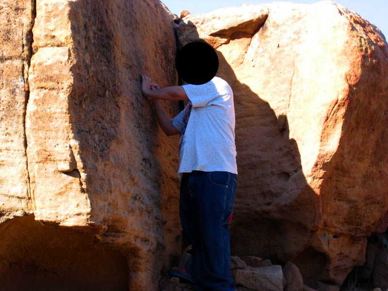 My friend logs his find of the Travelers' Rest cache My friend logs his find of the Travelers' Rest cache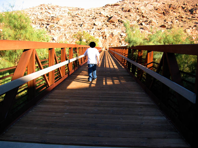 Crossing the Virgin River on the wood and steel foot bridge Crossing the Virgin River on the wood and steel foot bridge Kids playing in the river Kids playing in the river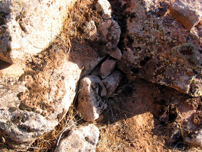 Where could the cache possibly be hidden? Where could the cache possibly be hidden?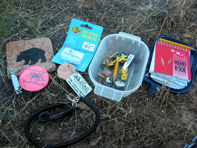 The Contents of Relax on the Virgin The Contents of Relax on the Virgin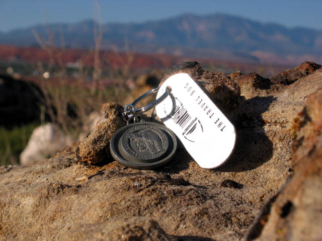 Top of the World Travel Bug Visits St. George, Utah Top of the World Travel Bug Visits St. George, Utah View of St. George, looking north, from the cache site, including the historic St. George L.D.S. Temple (the white building in the center of the valley) View of St. George, looking north, from the cache site, including the historic St. George L.D.S. Temple (the white building in the center of the valley)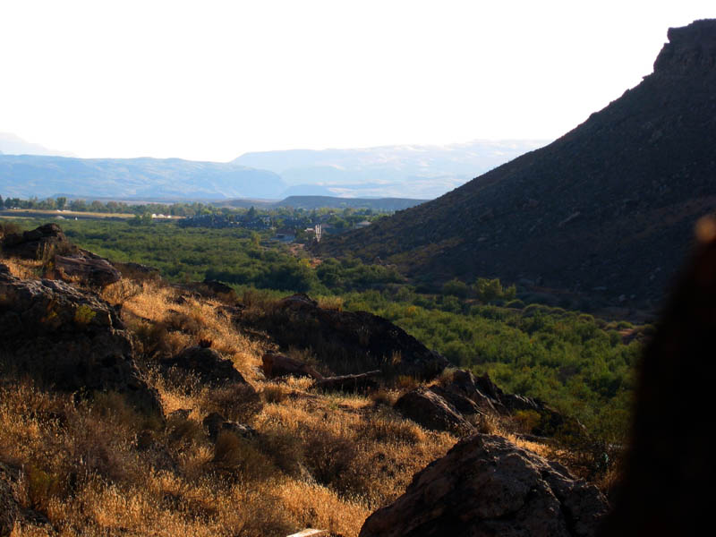 Looking southwest from the cache site Looking southwest from the cache site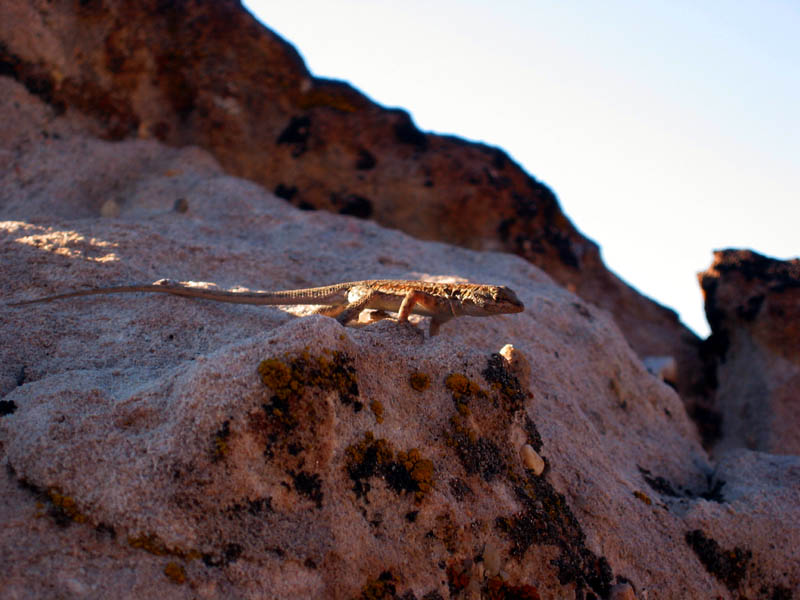 One of many small lizards on the rocks One of many small lizards on the rocks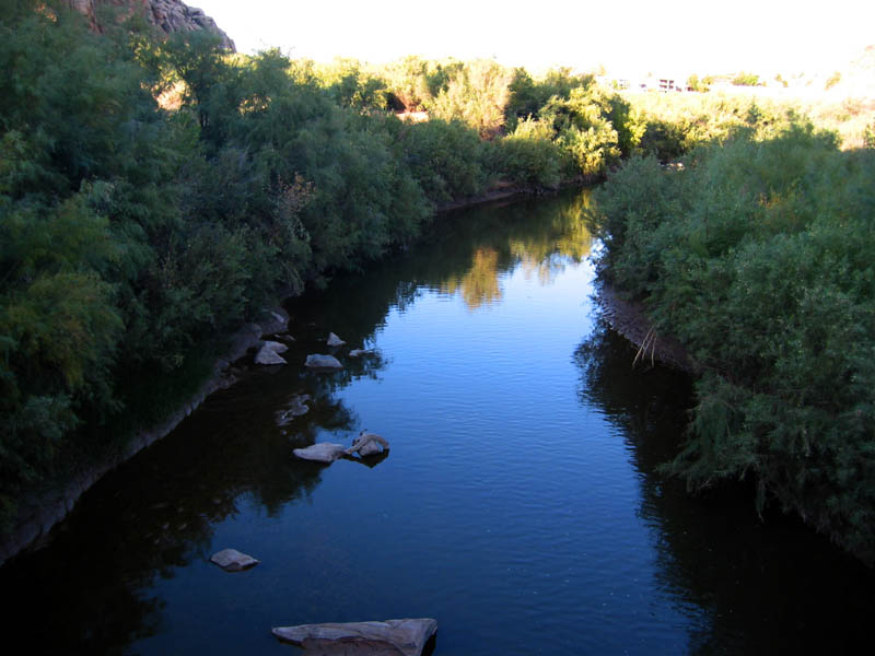 Not much water in the Virgin River Not much water in the Virgin River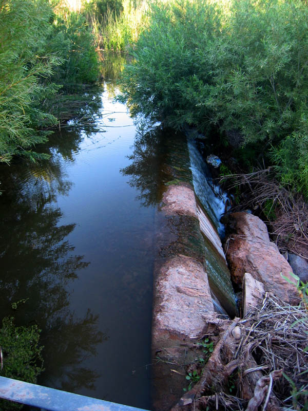 A trickle of water from the Santa Clara RiverWith the Top of the World travel bug burning a hole in my pocket ever since I picked it up two weeks earlier in the Virgin Gorge #4 I-15 Rest Stop/ cache, I knew I needed to get outside and go cache hunting. And thanks to utahtim, there was a nearby cache, Relax on the Virgin that I hadn't yet found, one I'd intended to visit earlier this month, but had never got around to it. Since I'd promised to drop off the travel bug and not hold on to it for too long, I had the perfect excuse to go cache hunting. A trickle of water from the Santa Clara RiverWith the Top of the World travel bug burning a hole in my pocket ever since I picked it up two weeks earlier in the Virgin Gorge #4 I-15 Rest Stop/ cache, I knew I needed to get outside and go cache hunting. And thanks to utahtim, there was a nearby cache, Relax on the Virgin that I hadn't yet found, one I'd intended to visit earlier this month, but had never got around to it. Since I'd promised to drop off the travel bug and not hold on to it for too long, I had the perfect excuse to go cache hunting.
On my way, I dropped by my friend's house to see if he wanted to come with me. He did, so the two of us drove the short distance to the trailhead parking lot just south of Interstate 15 Exit #6 at the end of Convention Center Drive, just past the Rosenbruch Wildlife Museum and the Dixie Center. The small, grassy, tree-shaded park on the bank of the Santa Clara river is also where several of the City of St. George's paved trails converge. It was one of these trails that would take my friend and I to the cache I sought. The two of us wandered down the trail at a leisurely pace in the warm afternoon air. As the trail bent around a hill, heading south toward where I-15 crosses the Virgin River, I remembered that just over two weeks earlier, I'd visited Attila and Cachin' Passion's Traveler's Rest cache. Since my friend hadn't found it yet, I handed my G.P.S. to him and we paused while he searched for and found it. Since I'd only really planned on visiting Relax on the Virgin, I had nothing to trade, nor did my friend, so he took nothing and left nothing. We both wrote in the log book, however. Once that cache was restored to it's hiding place, we continued down the trail, then crossed the Virgin River on the wood and steel foot bridge that spans it in the shadow of the tall concrete pillars supporting the Interstate as it crosses the river. There wasn't a lot of water in the river at all, but it was still pretty. Downstream a few hundred yards, some kids were playing in the shallow water as an adult looked on. Once on the other side, the trail gently climbs up the side of Webb Hill a ways, before the fork we were following doubles back and heads northwest around Webb Hill. We were close, very close, and closing in on our quarry quickly. We didn't leave the paved trail until my G.P.S. was pointing almost perpendicular to the trail. When it did, it was obvious that this was where the cache would be hidden. It was a good spot to leave the paved trail. The G.P.S. pointed up the hill perhaps 40-50 feet from where we stood. Since my friend's knees are in poor shape, and the cache appeared to be hidden up the somewhat steep hillside, he remained below with the G.P.S., guiding me left or right as I searched for the hiding place. In moments, I spotted a few strategically placed rocks that must be hiding something. It was the cache! I extracted the small container, upon which rested a ceramic tile, and brought it down the hill so my friend and I could peruse the contents at leisure. I decided to trade the travel bug for the glasses repair kit. After snapping some pictures, I repackaged the cache, then added the Top of the World travel bug, and rehid the cache. Welcome to Utah, Top of the World! On the way back, our footsteps on the trail startled many small lizards, which would dart quicky into nooks and crevices in the rocks to hide from us. It became something of a game to see if I could snap a picture of one before it ran away. I only caught one on virtual digital film even though we saw dozens. The afternoon sun was sinking lower as we crossed the Virgin River again. The river is calm, almost mirror smooth beneath the foot bridge. The non-native tamarisk (or salt-cedar) plants grew thick and tall on either bank of the river, crowding it's drought-striken channel. We passed the Travelers' Rest cache again and followed the trail as it curved back around the hill. Before the trail crosses the Santa Clara River, a small tributary to the Virgin River, with very little water in it this year, there is a diversion dam the Santa Clara flows over. We paused to admire the flora around the water, including sunflowers, and a thicket of bamboo. We'd found two caches, but we weren't finished with our caching adventures just yet. Back in the car, we drove a few miles east, and parked near where River Road crosses the Virgin River, got out, and hopped back on the trail system. This part of the St. George trail system connects to where we were before, but we cheated and drove the two miles instead of walking the trail along the river. Last March, when my sister was visiting from Colorado, I wanted to place a cache near the trail down by where the trail ducks beneath River Road. With my parents and sister, I'd hidden a clear plastic jar with various fun cache find items, log book, and pencils inside. But I forgot to post a description and the coordinates on the Geocaching web site. With my friend in tow, I returned to the spot, and sure enough, there was the jar, untouched other than by sand, wind, and water. The contents inside were pristine. I fiddled with it for a while, let my friend write in the log book, added a note myself, rehid it, then took some new G.P.S. coordinate readings. It looks like the trail system will soon be expanded. The trail ended soon after it swooped beneath the River Road bridge at a dead end. Work had been done recently to clear brush out to make room for a new trail extension. Construction barriers marked the current dead end. I can't wait to come and explore the new section of trail once it has been completed. We returned to the car, and as the sun was still up, we decided to find one more cache, the Sheer Beauty virtual cache. I had the coordinates programmed in my G.P.S. and knew pretty much where it was at. We drove north then west into the older part of town, parked, and began exploring around a very historic location in the middle of St. George. We walked the beautifully kept grounds surrounding the historic structure to see exactly where the G.P.S. would read dead-on. Unfortunately, as we neared the tall walls of the historic structure, the satellite signal became a bit more inaccurate. I was thinking that the coordinates would take us to a plaque of some sort. Not so. Instead they pointed to a point off the sidewalk near the northeast corner of the historic structure, near the flag pole. I suppose the cache hider wanted instead for us to e-mail the words prominently displayed on the eastern wall of the structure, since those were the closest written words we could see. This is certainly a beautiful place, so the cache name is very fitting, and one with an amazing story, a history that is central to the settlement of southwestern Utah. Thank you, those of you who created these caches, for a very enjoyable Saturday afternoon and evening! We had a blast! Hopefully I'll eventually get the coordinates of my new cache posted. Don't hold your breath though, since I may move it to a bit better location first, now that I've been thinking about it. | |